FAQs
- Develop a shared vision for your neighbourhood.
- Provide greater detail on the type of development that will occur and how it will occur.
- Identify and enhance important local green spaces or pedestrian connections.
- Influence what new buildings should look like.
What is a neighbourhood plan?
A neighbourhood plan is a tool to help residents identify a common vision for their neighbourhood, prioritize neighbourhood goals and identify options for achieving them, and convey the types of projects a local community supports. It also helps Council understand how residents want their neighbourhood to grow. Neighbourhood plans can be used to:
What is the difference between the Official Community Plan (OCP) and a neighbourhood plan?
Both the OCP and neighbourhood plans guide decision-making. The OCP provides general, high-level guidance for the whole city, and neighbourhood plans provide guidance at a finer, more local scale. While the OCP sets out the overarching vision for how Chilliwack should develop over time, neighbourhood plans speak to how smaller areas will help achieve that city-wide vision, while considering the specific needs and desires of the neighbourhood.
Why is the City undertaking a neighbourhood plan for South Vedder?
Many properties in the area are considered to have high re-development potential. Also, a number of land assemblies and redevelopment enquiries and/or applications are currently being considered by the City. In response to increased development interest in this area, developing a South Vedder neighbourhood plan will ensure there is a unified vision for how the area should grow and develop over time. The neighbourhood plan will build on the City’s overarching OCP vision for this area as well as clarify expectations with respect to new development. The neighbourhood plan will set out goals and objectives, and identify actions on how to achieve them.
What does the City’s 2040 Official Community Plan (OCP) say about this area?
As shown in the image below, the OCP designates the majority of the properties within this area as “General Commercial” or “Medium Density Residential”. These OCP designations support urban corridor densification (along Vedder Road) as well as the development of vibrant commercial areas to facilitate pedestrian-friendly streets.

These OCP designations envision ground level commercial buildings (4 storeys), mixed commercial-residential buildings (6 storeys), and standalone residential buildings (3-6 storeys). Increased density, through infill redevelopment, and improved mobility and accessibility are expected outcomes of redevelopment along Vedder Road. Increased mobility and accessibility means enhancing people’s ability to reach desired goods, services and activities by reducing distances between common activities (mixing uses, placing them close together, linking them, increasing intensity of uses, and density) and supporting alternative transportation modes (pedestrian, cycling, transit).
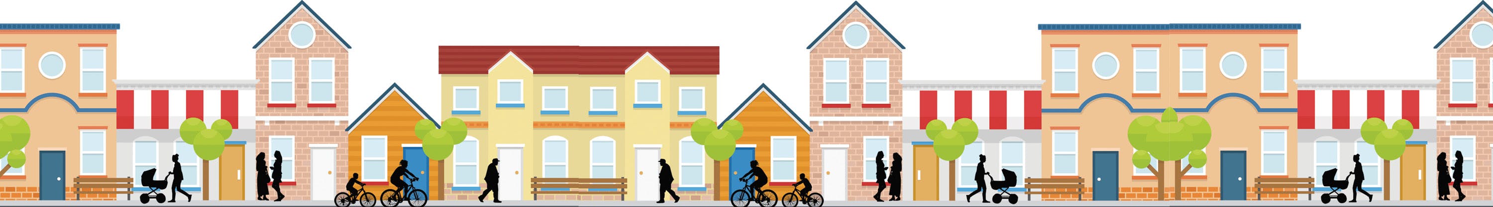
Examples of commercial and mixed commercial-residential development that emphasizes main street/pedestrian-friendly design:

What are the neighbourhood boundaries for South Vedder?
The area is located within the southeast portion of the Vedder neighbourhood, east of Vedder Road, and directly below the hillside of Promontory. The area also shares boundaries with Tzeachten First Nation (Keith Wilson Road, east).
The two maps below illustrate the study area under review as a part of the South Vedder Neighbourhood Plan.


When will my property be redeveloped?
There are many factors that influence redevelopment. Most of the land in this area is privately owned (not owned by the City). This means redevelopment could happen over time if property owners decide to undertake the process. Not all properties will be redeveloped to higher densities. Interested property owners would need to determine the viability of redevelopment with City policies, plans, bylaws.
What does “low-density residential” mean for the Fircrest Mobile Home Park?
The “Urban Residential” designation of the Fircrest Mobile Home Park is consistent with the property’s current zoning and use as a mobile home park. This designation also supports modest densification within low-density areas of the neighbourhood, responding to a range of housing needs, while preserving areas for single-detached dwellings (including manufactured homes) on residential lots. The current zoning of Fircrest Mobile Home Park permits only mobile home park development. A rezoning, supported by the property owner, would be required to permit other uses. This would require community engagement and a Public Hearing prior to Council consideration of the rezoning.
How does the Plan address the increased traffic that comes with increased density?
The Neighbourhood Plan does not anticipate growth beyond what has already been planned for in Chilliwack’s 2040 Official Community Plan (OCP). The OCP identifies infrastructure improvements that will support that growth. Improvements to roads, like the Vedder Road Widening Project, are expected to ease traffic pressures most of the year, with the exception of summer traffic volumes on Vedder Road.
With increased commercial development planned, how will parking be addressed?
The Neighbourhood Plan will require parking at the standard City of Chilliwack Zoning Bylaw parking rates. The Neighbourhood Plan also designates more intensive/mixed-use areas along Vedder Road, which will provide a greater range of neighbourhood-serving amenities and services within walking distance, making it easier to leave the car behind.
What are the future plans to upgrade this section of Vedder Road?
With Vedder Road's substantial right-of-way, there is opportunity to create wider bike lanes and sidewalks buffered with landscaping and trees. Check out the road cross-section on page 39 and related Policies / Action Items, for more detail. The approximate timing for road improvements to this section of Vedder Road (Keith Wilson to Vedder Bridge) is anticipated in 2029, but this timeline could be advanced more quickly depending on timing of redevelopment along the urban corridor (Vedder Road), changing community needs, and Council priorities.